|
weeding maps |
|
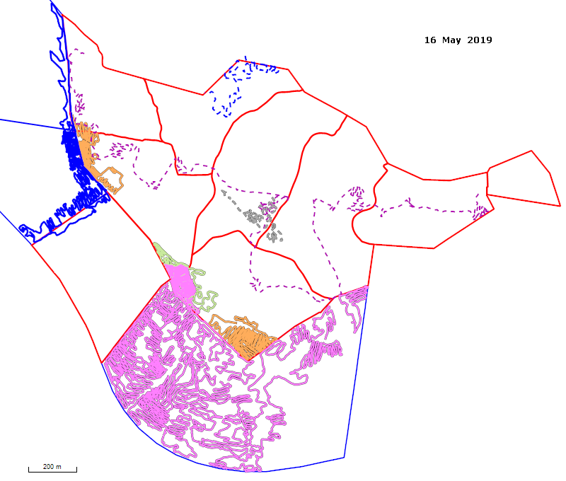
Maps of weeding effort for the 2018 - 2019 season Verbascum treated (for detailed or more recent maps, refer to recent weeding) See also the maps of all reported occurrences of Verbascum since 2010.
Solid lines represent tracks where the primary target was Verbascum; dashed lines represent tracks where Verbascum was a secondary target and only a small percentage of time was spent on it.
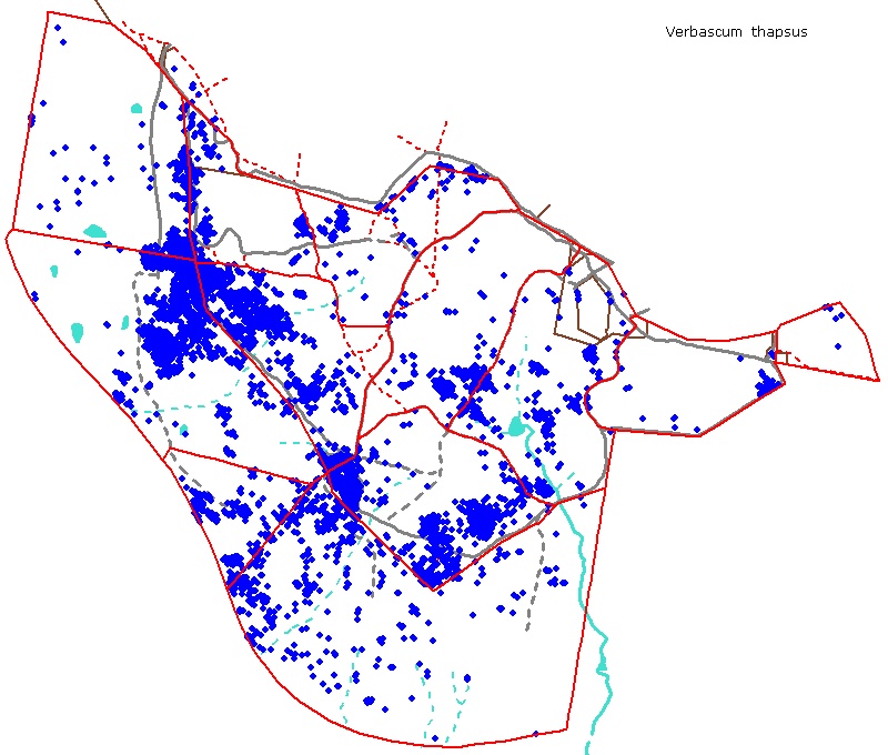
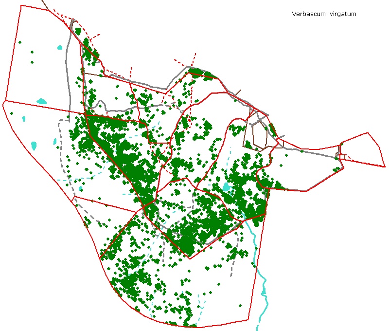
Right click to download associated gpx file Click for maps from: 2017-18 / 16-17 / 15-16 / 14-15 / 13-14 / 12-13 / 11-12 / 10-11 All mapped locations of Verbascum on the Reserve and adjacent paddocks (to June 2018)
|

© Friends of The Pinnacle