
|
weeding maps |
|
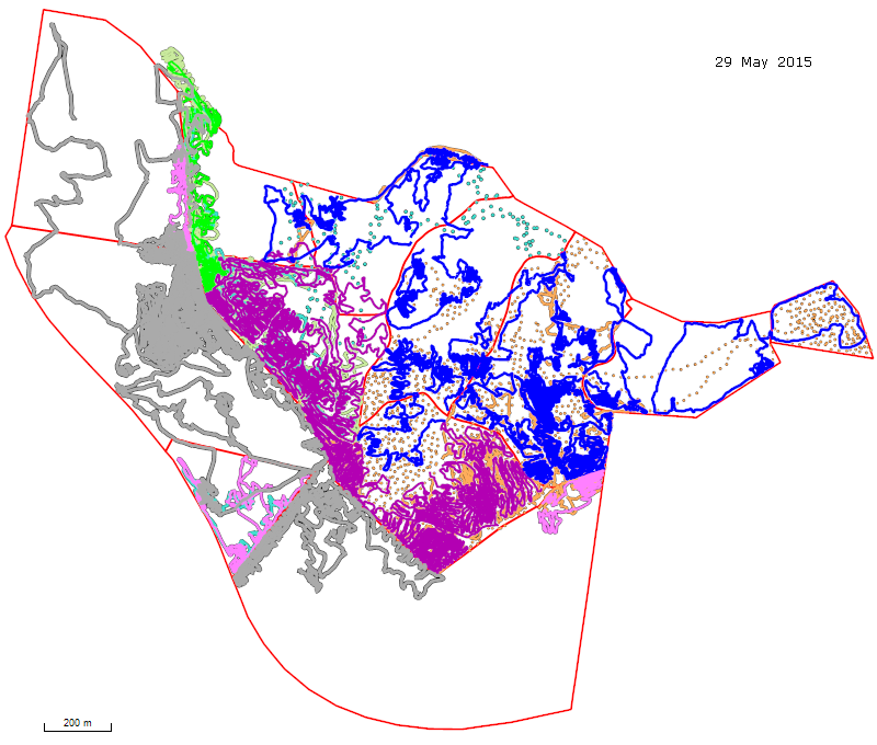
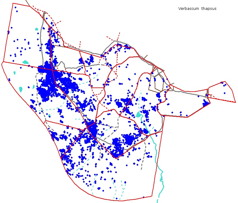
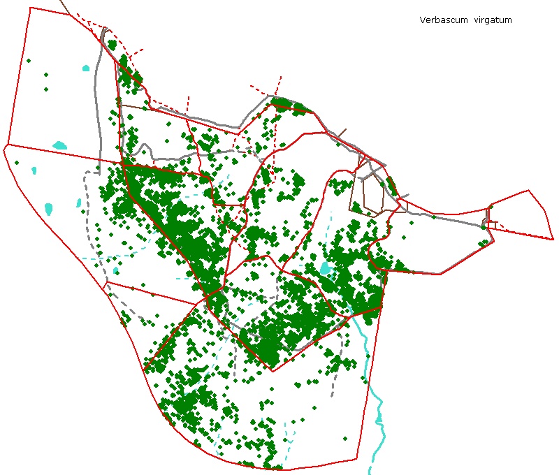
Maps of weeding effort for the 2014 - 2015 season Verbascum treated (for detailed or more recent maps, refer to recent weeding) See also the maps of all reported occurrences of Verbascum since 2010.
All lines represent spraying tracks.
Right click to download associated gpx file Click here for: 2013-14 map / 2012-13 map / 2011-12 map / 2010-11 map All mapped locations of Verbascum on the Reserve and adjacent paddocks
|

© Friends of The Pinnacle