|
weeding maps 2020-2021 |
|
Maps of weeding effort for the 2020 - 2021 season
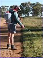
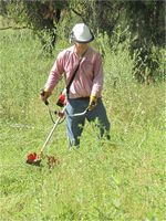
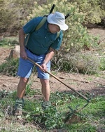
The links above provide detailed maps of treatment areas for many of our target weeds. They mainly cover spraying and slashing efforts, for which GPS data are available. Other effort is included where we are able to accurately determine its location. As well as the limited resolution maps available directly at the links above (each of which is between 350 and 450 kB), in some cases higher resolution maps can also be downloaded. Click your browser's reload
|
© Friends of The Pinnacle


